St James's |
|
Note: this page should be viewed at 1024 x 768 resolution for correct alignment of the arrows on the maps. (If you cannot see the arrows, or the links do not work, use the text links here to access the pictures)
|
|
|
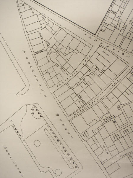
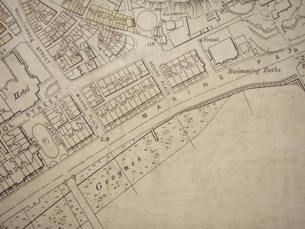
Trevanion Court / Marine Cottages / Clarence Cottages / Gas Works |
|
|
|