| Index |
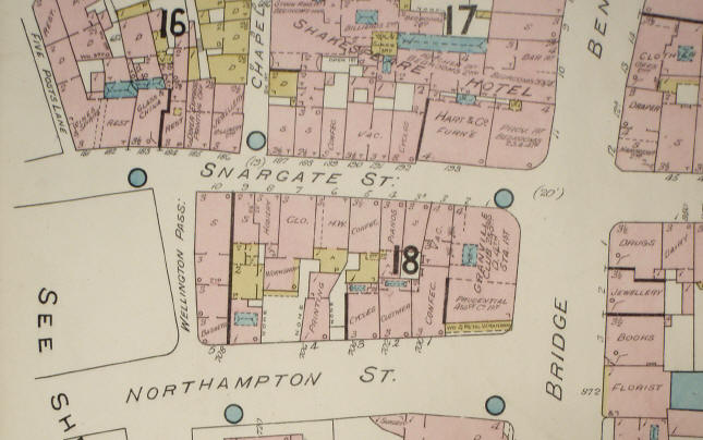
Snargate Street |
|
Old Snargate Street, in Saxon times, was very short, extending from
Severus Gate, at New Bridge, to the tower that stood at the Snargate
Street corner of Wellington Passage. When the town was first walled
there was no Snar Gate. Severus Gate was the sea gate; the tower in
Wellington Passage guarded the angle in the wall overlooking the sea,
which washed the base of the cliffs. Shingle accumulated over the course of several centuries, forming a shoal where Waterloo Crescent and Marine Parade now stand, and the River Dour, which was not such as small stream in those days, washed down silt from the valley and deposited it on the shingle bank, making it permanent. This caused the sea bed under the cliff to gradually silt up, leaving the undercliff above water. Eventually, during the Norman period, sufficient land was created to allow Snargate Street to be extended beyond the walls, and Snar Gate was erected where later stood no. 16 on the seaward side and no. 176 on the landward side (now under the York Street roundabout). The wall was also extended up the face of the cliff to join the older defences near Cow Gate. The earliest known deed for a property in Snargate Street is dated 25th July 1362. This probably related to the corner plot extending as far as Chapel Street. |
|
|
|
|
| It is often supposed that Snargate Street got its name from Snar Gate but, as Bavington Jones (1907) points out, there was a Snargate Ward in this part of the town before the gate was erected. He suggests that, as the river emptied into the sea at this point, and had silted up the sea bed, it is likely that, to prevent further silting up of the estuary, a snare trap might have been put in the stream to catch water-born rubbish. Just such a trap can be seen by the Townwall Street underpass today. This would logically have been called a snar-gate (or snare-gate), from which the name probably derives. |